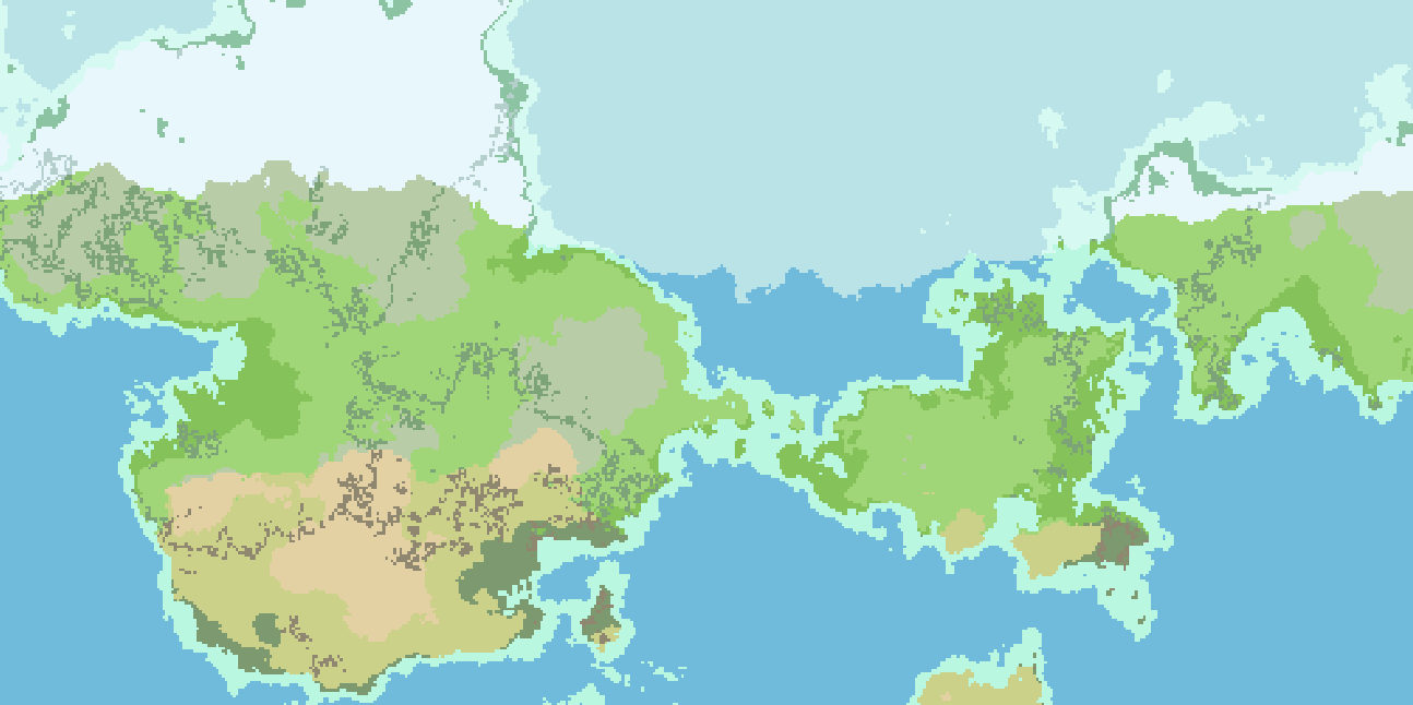
![[OC] Procedural painted islands](https://jlai.lu/pictrs/image/47627925-7d42-4c3e-927b-6554fd59fe39.jpeg)
A procgen weekend project in Blender and geometry nodes. The idea was to start from a simple painted map -as simple and childlike- as possible, and let the computer do the rest.
Some images of the process :
Extract map contours
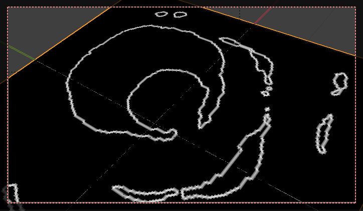
Separate seafloor from land

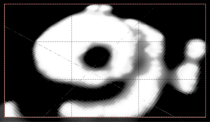
Look at the distance to shore

Filter it some

A voronoi for the rocks

Masked so they only appear near the shore

Roughly the same approach for the seafloor
A couple materials, water surface, Nishita sky

Cheers !
Yeah, swiggle is pretty much exactly that. The coordinates, amplitudes, and radius are randomized (based on the map seed, so it is reproducible). It makes a good distortion on top of things like mountain range positions. You don’t see the swirls in practice.
Yeah, I mathematically compute a gradient vector. Which is actually one of the very easy things to do in python. I then bias Voronoi cell centre point density based on the amplitude of the local gradient.
The same gradient calculations would be used in a real erosion/deposition model. Where the gradient is high, erode. Move those particles down gradient. Deposit particles where gradient is less steep. Repeat a thousand times. Marvel at emergent phenomenon like river valleys and deltas. It’s the “repeat a thousand times” that python really struggles with. It’s fine to run it once and wait. But I don’t want it to be days of modeling per map :)