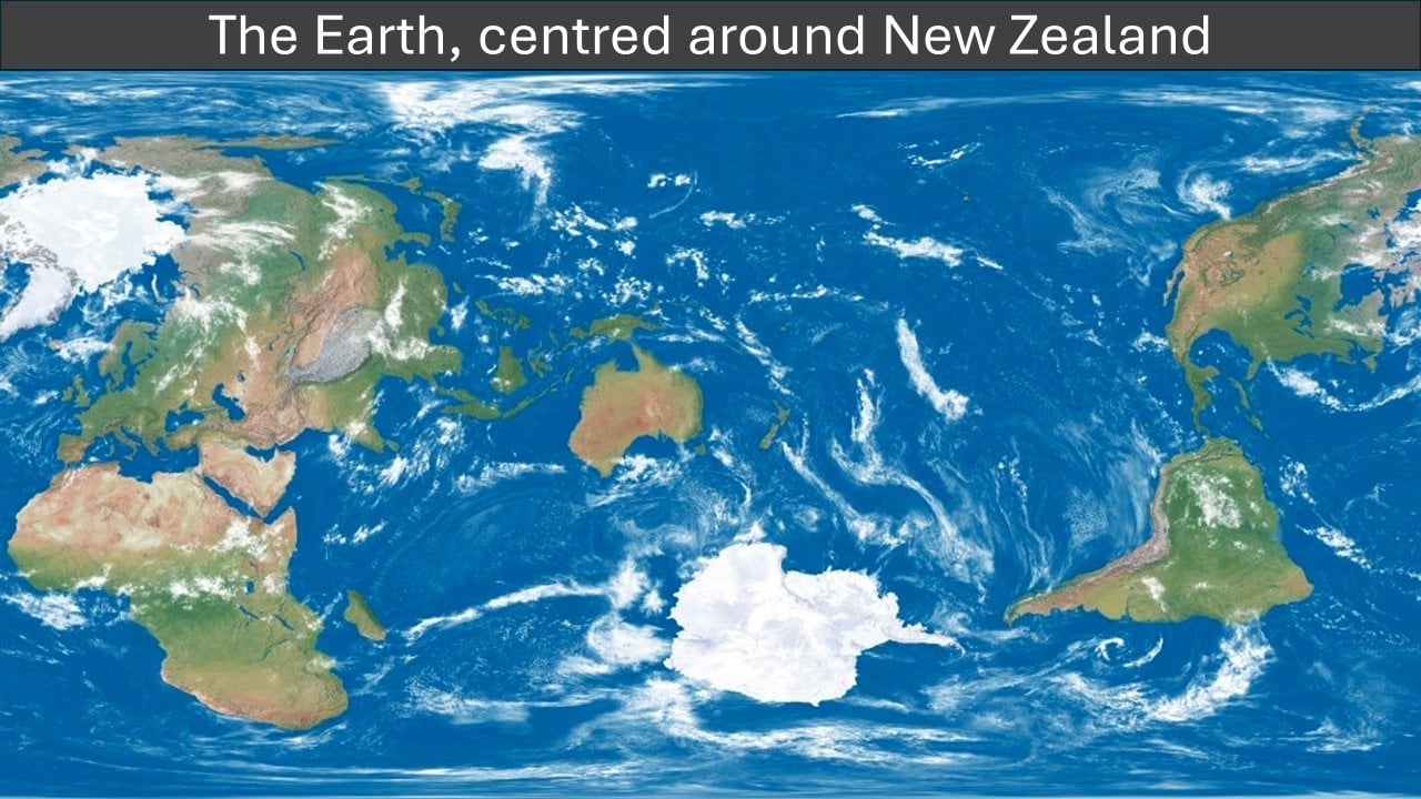
The biggest landmass nearest to the edge is Africa (+a slight margin for human pleasure) so it probably made sense to keep that one intact for the readability of the map (cutting Alaska and Canada isn’t actually that much km²).
It could have been rotated slightly to move Africa away from the edge, Canada back towards the rest of the Americas, then a slight move could avoid splitting any land, and NZ could be better centred