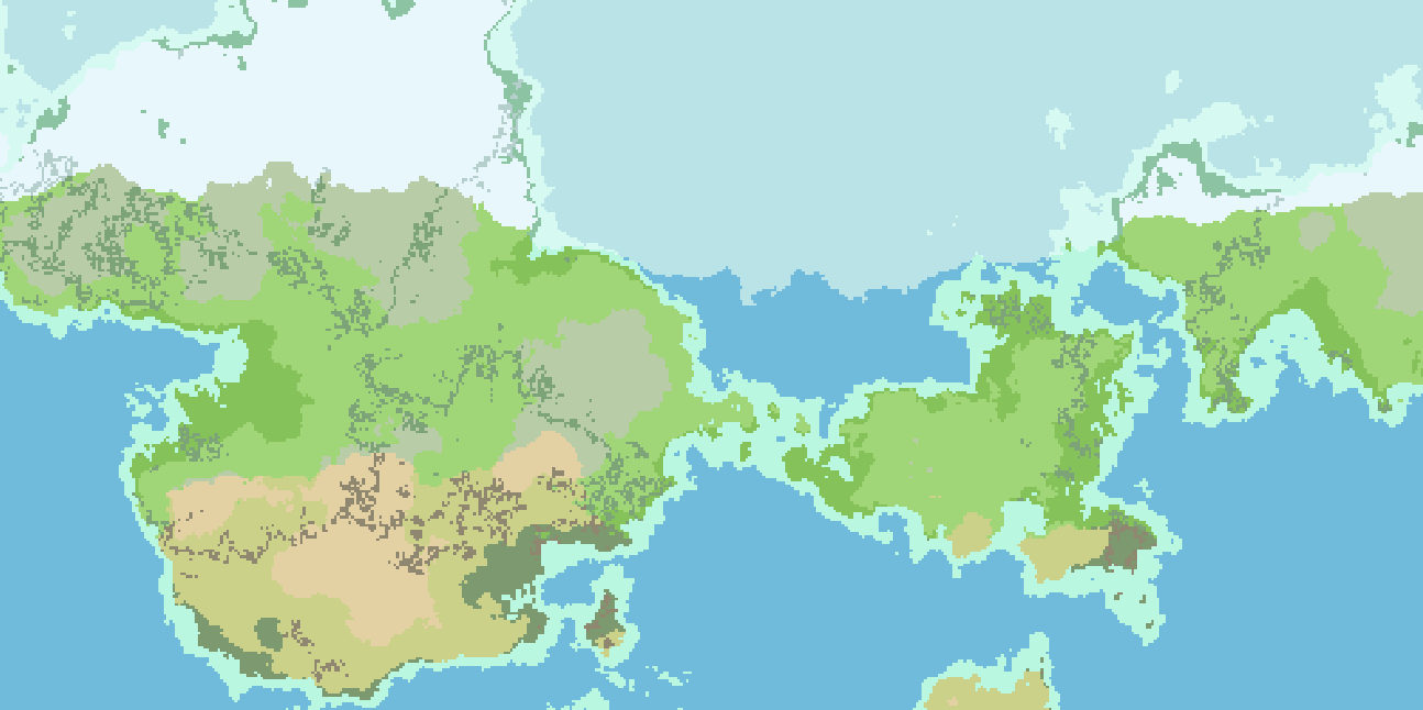
![[OC] Procedural painted islands](https://jlai.lu/pictrs/image/47627925-7d42-4c3e-927b-6554fd59fe39.jpeg)
A procgen weekend project in Blender and geometry nodes. The idea was to start from a simple painted map -as simple and childlike- as possible, and let the computer do the rest.
Some images of the process :
Extract map contours
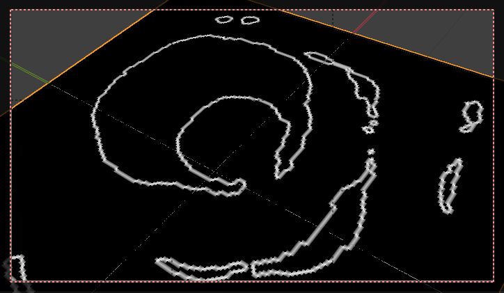
Separate seafloor from land

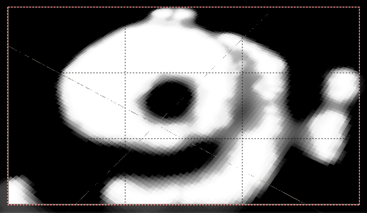
Look at the distance to shore

Filter it some

A voronoi for the rocks

Masked so they only appear near the shore

Roughly the same approach for the seafloor
A couple materials, water surface, Nishita sky

Cheers !
Nice ! colors are mapped to elevation ?
Yea I can relate, for me it’s about half-half. Ultimately, I do want to output cute images. I’ve never written a noise generator though I would be curious to learn at some point.
How’s the performance with Python ? have you tried generating meshes/SDFs from these height fields ?
Yeah, colours to elevation.
Since I am mostly using Python as a math engine, and python isn’t a very good math engine (even with numpy), performance isn’t great. The map above is about 15 minutes to generate. I could spend hours answering the why 😂
But basically I’m just storing elevations in a 2D array. Then applying various filters to it to make things more geologically reasonable. Start with noise, add mountains in places that make sense, fjords, floodplains! Etc. I think I have about 18 processing phases now. But each step requires a lot of math – math that GPUs are very good at.
I also haven’t tried to optimize things too much.